
Drone Photography & Video · Leeds & Yorkshire
Aerial Photography and Video That Shows What Ground Level Can’t
Traditional aerial coverage and FPV fly-throughs for construction, property, manufacturing and business marketing.
The Brief
Ground Level Isn’t Always Enough
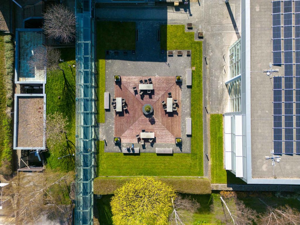
There is a limit to what a camera on the ground can show you. Stand in front of a large site, a viaduct, a distribution centre, a development with twenty acres of land, and you can photograph the detail in front of you — but you cannot show the scale. You cannot show how the site sits in its surroundings, what the access routes look like, or how a roof actually looks from above.
That is the gap drone photography and video fills. Not because it is a novel piece of technology worth showing off, but because it shows things that simply cannot be shown from eye level — scale, context, roof condition, access, site layout, the relationship between a building and what surrounds it.
Not every job needs a drone. It genuinely earns its place when the story needs height, context, scale, movement, or immersion — if none of those apply, ground photography is probably the better spend.
That honest conversation happens before booking, not after.
“Use drone work when the story needs height, movement, context, or immersion.”
Two Systems
Traditional Drone and FPV — One Visit, Two Sets of Tools
I operate both a traditional aerial drone and an FPV (first-person-view) system — genuinely different tools for different jobs.
01
Traditional Drone
Elevated stills, roof views, site overviews, panoramic and 360-degree images, smooth gliding video. Clean, cinematic, and the right choice for building exteriors, roof condition imagery, and formal progress documentation — waypoint routes mean the same shot can be recreated on a return visit.
The aircraft is matched to the job, not whatever’s biggest — a mini drone for tighter sites, a mid-sized drone for larger sites or longer stand-off distances, chosen around the site, the brief, and the risk assessment.
02
FPV Drone
FPV moves through and around spaces in a way a traditional drone cannot — close passes, fly-throughs of corridors and doorways, movement between rooms. It’s the difference between watching a building from a distance and feeling like you’re moving through it.
The right choice for immersive building tours, indoor walkthroughs, and content built to stop the scroll — social media, website hero videos, anything where movement matters more than formal polish.
03
Combined Package
Many jobs benefit from both systems on the same visit — polished, formal aerial assets alongside more dynamic FPV footage.
One booking, one visit, one day rate — practical overview coverage alongside immersive fly-through content.
Sectors
What Drone Work Actually Looks Like by Sector
Different industries need aerial coverage for genuinely different reasons. Here is what that looks like in practice.
Construction, Civil Engineering & Infrastructure
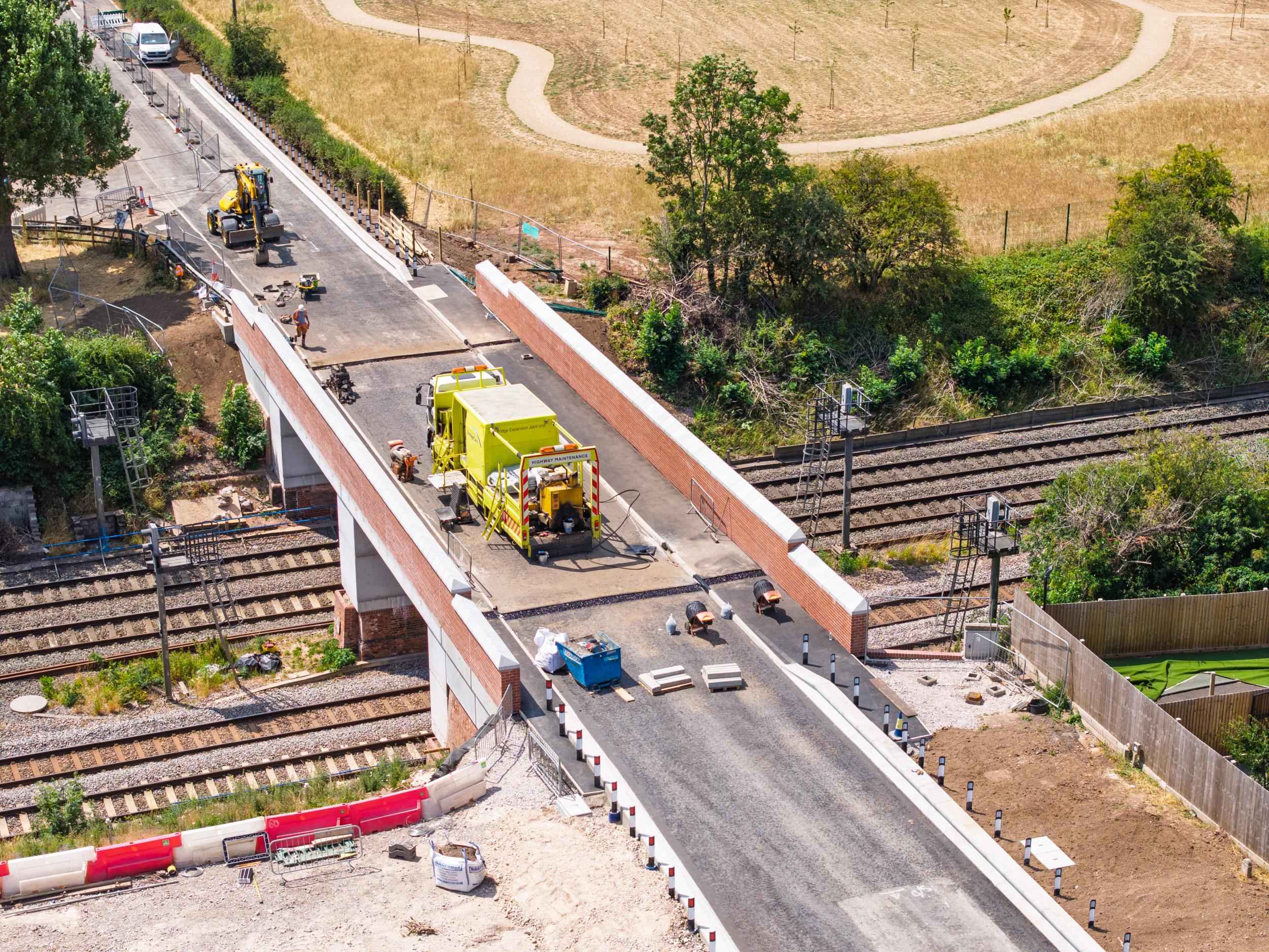
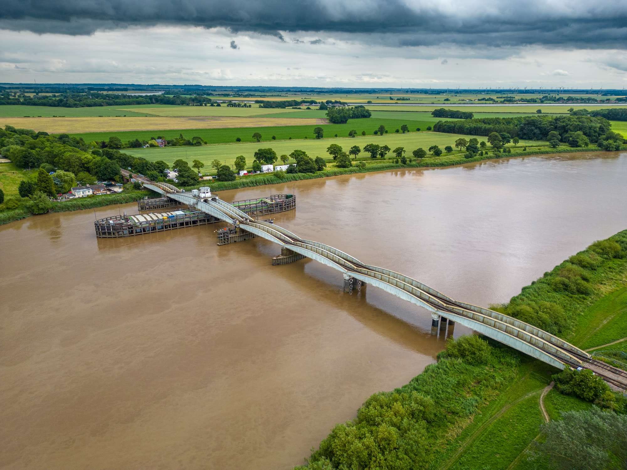
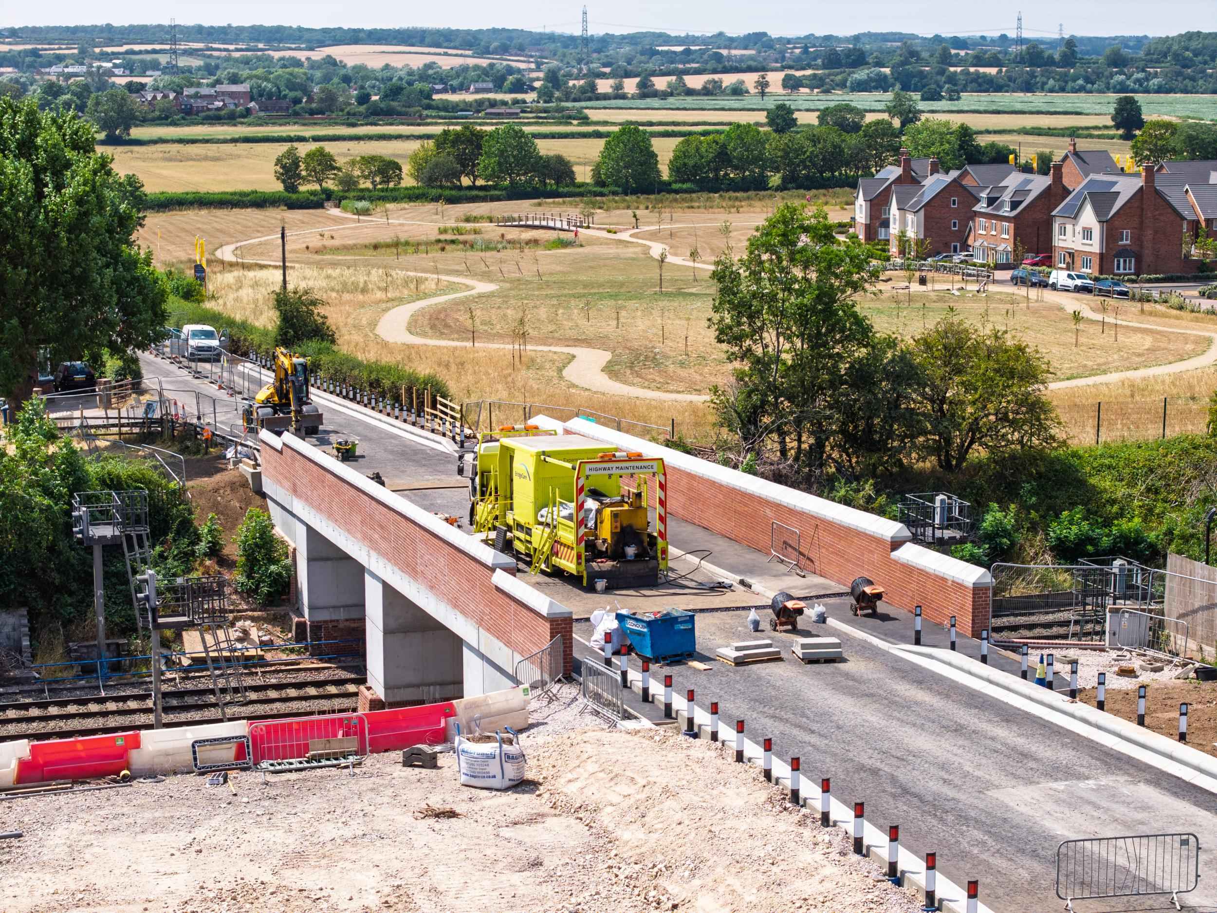
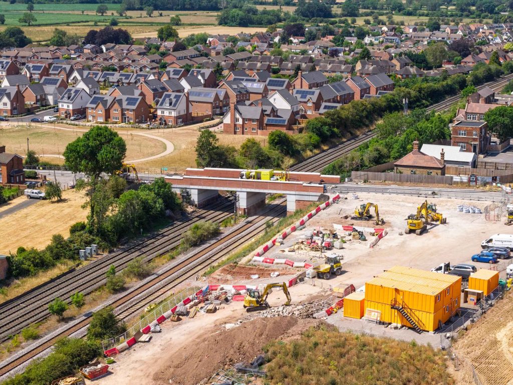
Large sites are hard to photograph meaningfully from the ground — a viaduct or major infrastructure project simply doesn’t fit in a single frame. Drone coverage shows scale, progress, and context for bid material, PR, case studies, and handover records, with repeatable waypoint routes for tracking progress across visits.
Property & Estate Marketing
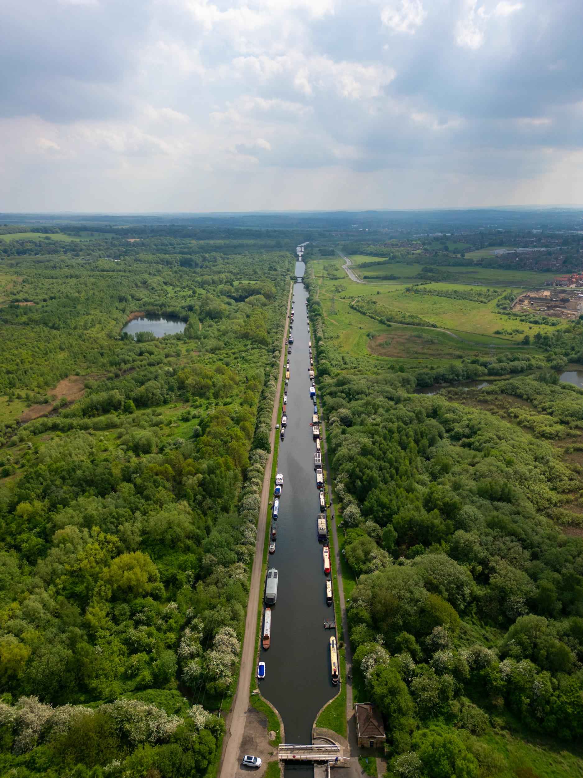
Exterior views, plan-style shots, and 360-degree images show buyers or investors the plot, the grounds, and the surroundings in a way ground photography can’t — and for commercial property, that means showing scale to investors and tenants.
Manufacturing & Industrial Sites
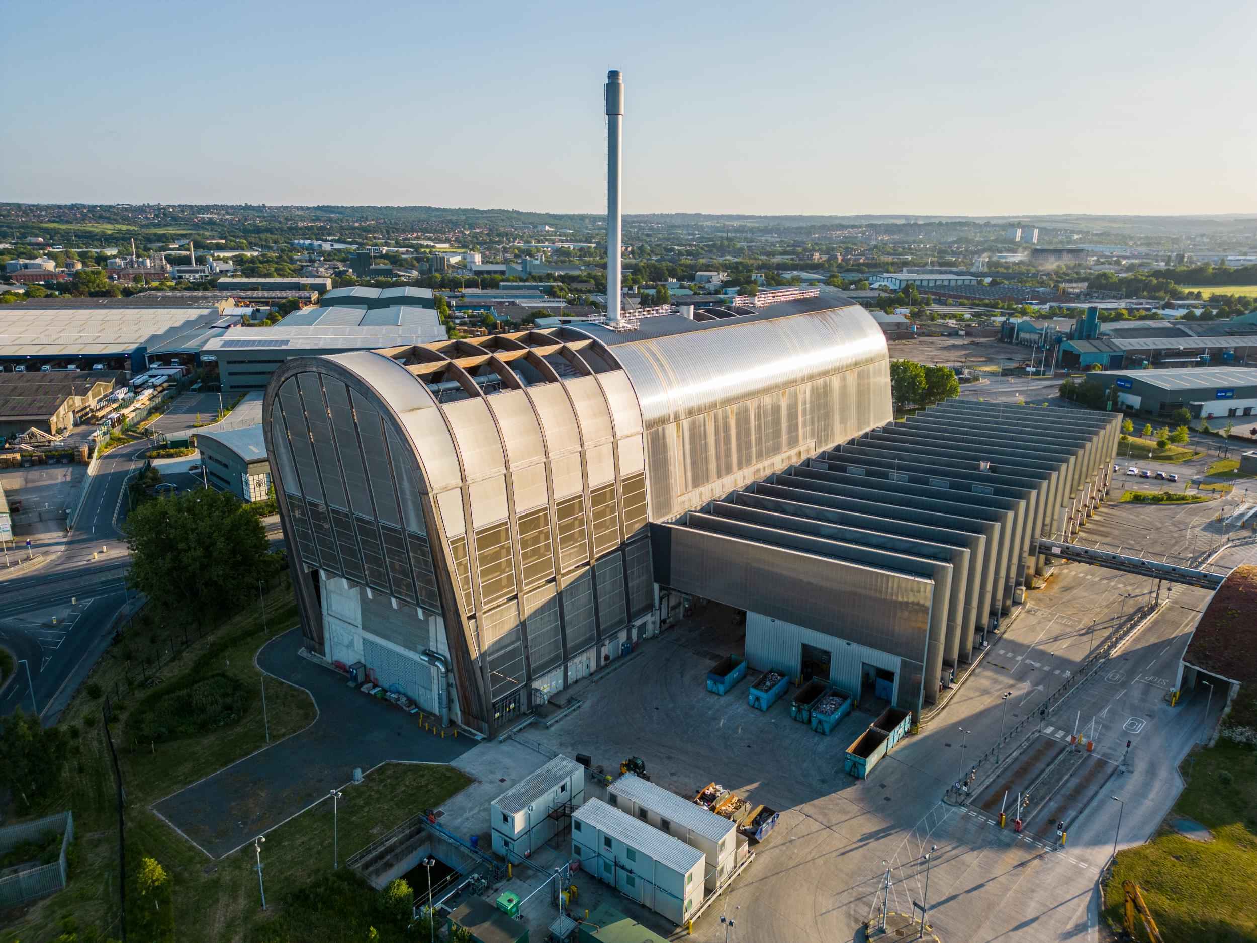
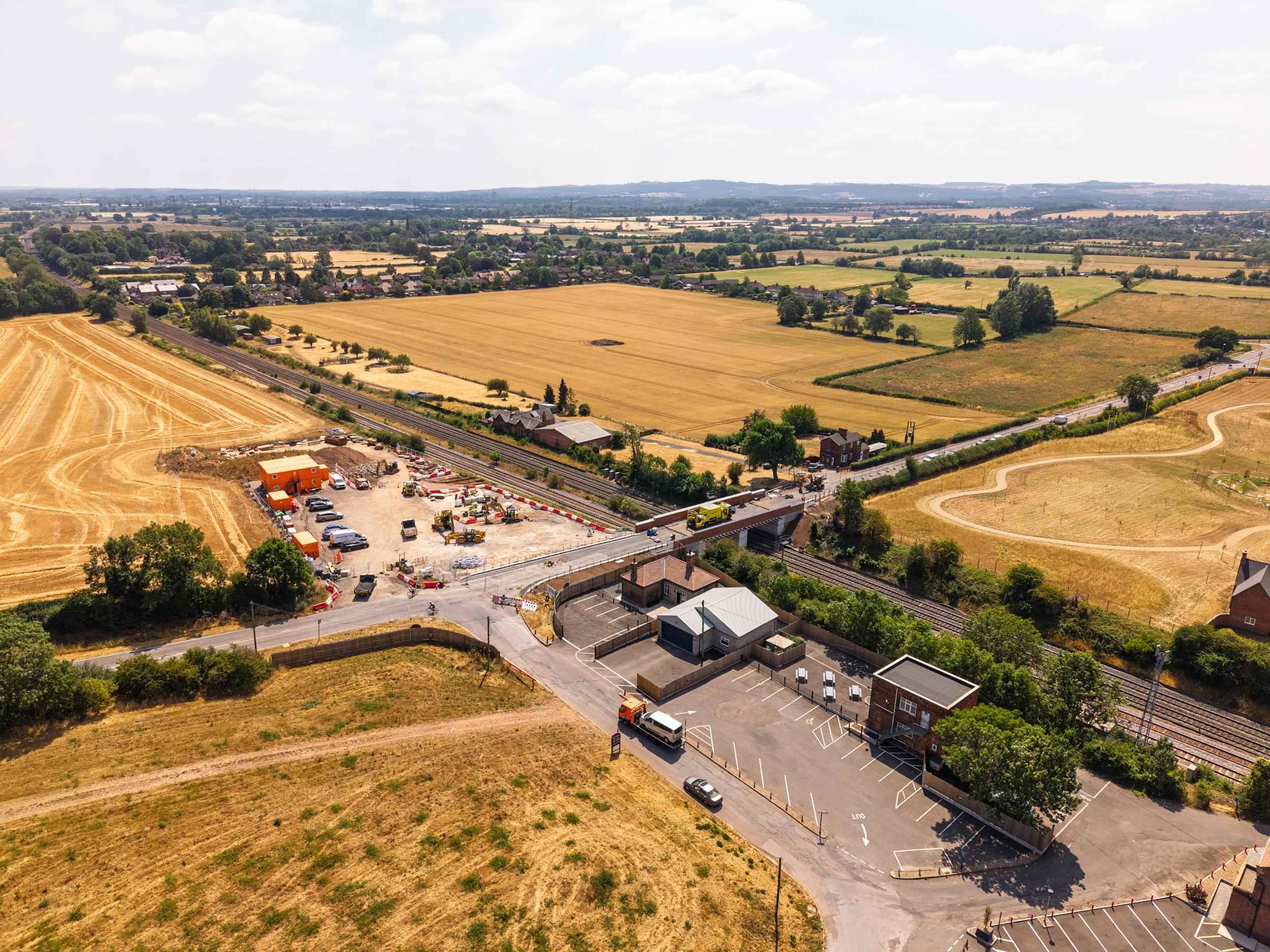
Large factories and warehouses are difficult to show from eye level — the roofline, plant and equipment, and overall site context are far clearer from above, helping demonstrate scale and the investment a business has made in its facilities.
Why McFade
If You’ve Got a Site That Needs Showing Properly From Above
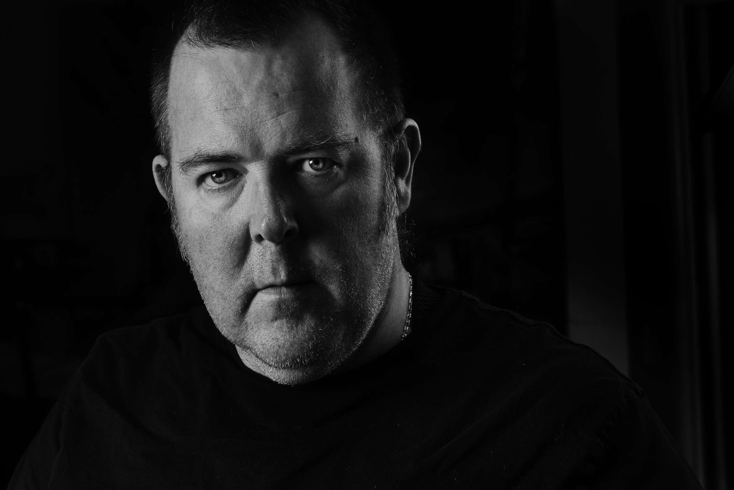
I’m Ade Wilson, a commercial photographer based in Leeds and a CAA-authorised drone operator, working across Yorkshire and the UK for suitable projects — mostly construction, infrastructure, and manufacturing clients, where scale genuinely matters.
Got a site or project that needs showing from above? Get in touch and I’ll work out whether a drone is genuinely the right tool for it.
What Makes This Different
Smaller Drones. More Planning. Better Results.
01
The Right-Sized Drone for the Job
The aircraft matched to what the job actually needs, not whatever’s biggest — and every job gets an airspace and restriction check before anything is booked.
02
Traditional and FPV in One Service
Most drone operators offer one system. I bring both traditional aerial coverage and FPV, so one booking covers polished overview footage and immersive content — not two suppliers, two visits.
03
Honest About When a Drone Is the Right Tool
Not every job needs aerial coverage. That conversation happens honestly, before booking — not as an upsell once you’re already committed.
How It Works
Three Steps From Brief to Flight
01
Tell Me What Needs Showing, and Where
Get in touch with the basics — what the subject is, where it is, and what you want the aerial coverage to achieve. I’ll check airspace, restrictions, and site access before anything is booked.
02
We Plan Around Permissions, Timing, and Conditions
Once confirmed, we agree timing, light, and any permissions required, with spotter support arranged where useful. RAMS and site documentation handled where required — no surprises on the day.
03
We Fly and Deliver
We arrive fully equipped for the job. Turnaround depends on the size of the job — I’ll give you a date when we book it, and I’ll stick to it; video especially, since that depends on length and edit complexity. Raw footage available if you have your own edit team, or a light edit if that’s what’s needed.
— More Aerial Work


Qualifications
Qualified, Insured and Properly Planned
Drone work involves real legal and safety obligations. Here’s where McFade stands.
- GVC-qualified, operating under CAA Operational Authorisation (PDRA01 route) where required — the primary professional qualification for more advanced commercial operations
- A2 CofC also held — covers additional operations in the Open Category
- CAA Operator ID and Flyer ID registered — as required for lawful commercial drone operation
- Commercial drone insurance in place — third-party liability and damage cover for professional operation
- Airspace and restriction checks before every job — never a casual assumption about what’s allowed
- RAMS and site documentation handled where required — proper paperwork for sites that need it
- Aircraft matched to the site and risk assessment — not chosen by default because it happens to be in the bag
Legal and compliance requirements in this area change over time. I check current CAA guidance before every job rather than relying on blanket assumptions about what was allowed previously.